

Ever wonder if the weather forecast is really right? In the mountains, a solid weather update is more than a detail, it can be a lifesaver. A sudden drop in temperature, strong gusts, or a surprise shower can turn a pleasant walk into a risky trek. Without clear forecasts, you might miss the signs that keep you and your hiking friend safe. Knowing the weather helps you plan smartly, pack the right gear, and steer clear of unwanted surprises. It really can make the difference between a safe hike and an avoidable risk.
How Accurate Weather Briefings Boost Mountain Hike Safety
Having clear weather updates is essential for a safe mountain hike. Good forecasts help you notice sudden wind gusts, quick drops in temperature, and unexpected rain that could hurt your trip. For example, knowing winds might top 20 mph or that higher spots could be 10 °F colder lets you change your plan. Rain can keep the trail wet for hours, and if nights get 10–15 °F colder, it's a sign to pack extra warmth.
Reliable weather info also means you can use simple safety checks. A drop of 2 mb in a half hour may mean a storm is on its way. High humidity, above 80%, can make surfaces slippery. These clear updates and accurate sky reports help you decide if you should wait or go ahead to avoid tough conditions. For more ways to keep safe, check out our detailed guide on hiking safety tips: https://hike2hut.com?p=177
- Rapid pressure drop
- Wind gust spikes
- Humidity surges
Before you set out, give the weather a thorough check. Look at forecasts 3–5 days before and again on the day you leave. Use radar images, satellite views, and local weather station data. This careful look at the details helps you plan well and stay safe on rough trails.
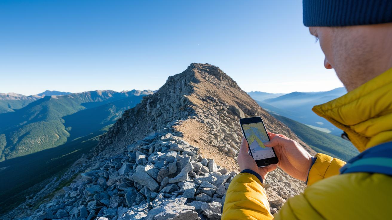
Using Precise Meteorological Updates and Essential Climate Insights for Mountain Planning
When planning a mountain trip, start by choosing a trusted weather forecast. Look for forecasts that cover 5–7 days with daily high and low temperatures. Good models break the weather down into hourly or three-hour segments so you can see how conditions might change. Compare a few different sources to spot trends. This way, you can adjust your plans if a cold snap or heat spike is expected and decide the best time to start your hike so you stay safe and comfortable.
Remember that altitude makes a big difference in the weather. Temperature usually drops about 2°C (3.5°F) for every 300 m (1,000 ft) you climb. What feels mild in the valley can be much cooler at the summit. To plan well, compare forecasts from low-lying areas (around 10 m) with those from higher spots (between 1,000 and 2,500 m). This side-by-side check helps you see how temperatures might change along your route so you can choose the right gear and manage your energy.
Layering precipitation maps with radar and satellite loops can boost your planning even more. Look at forecast charts along with these tools to track weather fronts up to 24 hours ahead. Precipitation maps show where rain may fall and how heavy it might be. With these dependable updates, you can spot moving showers or thunderstorms early and adjust your route for a safer mountain hike.
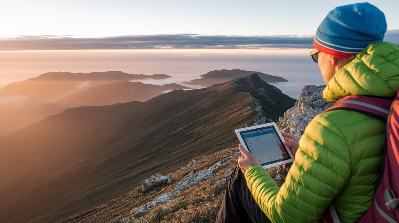
Route Adjustments with Trustworthy Sky Condition Reports and Summit Expedition Projections
When planning a summit push, checking weather forecasts with different time segments can really help. Hourly updates let you adjust your pace and aim to reach the summit before late morning storms hit. A 3-hour forecast gives a broader picture but can miss quick changes. For example, if you see a shift from a steady 3 m/s breeze to gusts of 6 m/s, it might be wise to pause your climb until the wind slows.
- Gust spikes
- Lightning risk zones
- Inversion layers (where warm air traps cold air close to the ground)
- Changes in the cloud deck
Keeping an eye on these signs helps you make smart choices on the trail. Gust spikes tell you when the wind is becoming unpredictable on narrow ridges. Sudden shifts in the sky can signal lightning risk zones, so it might be best to delay that section. Inversion layers can quickly create fog and cut your vision short. And if the cloud deck drops, it may mean a quick squall is coming, so consider rerouting before visibility drops under 100 ft (30 m).
Adjusting your route based on these reliable updates not only helps you reach the summit but also keeps you safer. Regularly checking conditions lets you enjoy the mountain while staying ready for nature's surprises.
Leveraging Expedition Advisory Systems and Hiking Advisory Notices in Mountain Hike Weather Briefings

Top National and Regional Advisory Platforms
NOAA's interactive maps show current weather with live satellite images. They update forecast info from thousands of stations. This helps you spot wind shifts and track rain so you can plan a safe mountain hike.
MountainForecast offers clear details about temperatures, pressure, and even avalanche risks for winter trails. Its altitude profiles compare valley and summit weather. This lets you see how conditions change as you climb and steer clear of danger.
Essential Mobile Alert Services
Mobile alert services pull data from over 40,000 official stations for real-time updates. They help you react quickly if the weather changes on the trail. We also recommend using our hiking safety tools for extra peace of mind.
- Live radar for following storm movements
- Custom alerts for sudden weather shifts
- Offline mode so you can get updates even without a signal
Gear Selection and Precipitation Management Strategies Informed by Accurate Forecasts

When planning your mountain hike, packing the right clothes is key to staying dry and warm. If weather reports show over a 40% chance of rain, choose a rain jacket with a water resistance of at least 10,000 mm (a measure of how much water it keeps out). Pair it with quick-dry base layers that pull sweat away, so you stay comfortable even if the weather changes fast.
If the forecast predicts a drop in temperature of about 10°F when you climb higher, bring along a fleece for extra warmth. And if the ground is expected to be more than 60% wet, gaiters can help keep your lower legs dry, blocking mud and water.
Here’s a simple gear checklist:
- Rain jacket with 10,000 mm (or more) rating
- Quick-dry base layers
- Fleece for cooler climbs
- Gaiters to protect against damp ground
Also, if heavy rain (over 0.1 inches per hour) drives you to take a break under tree branches or natural roofs, a lightweight micro-shelter is a smart addition. It gives you a quick, safe spot to wait out the downpour.
By choosing gear that matches the forecast, you reduce risks on the trail and stay ready for sudden weather shifts, keeping your mountain adventure safe and comfortable.
Integrating Itinerary Adjustments and Emergency Readiness Practices into Mountain Hike Decisions

Smart hikers always stay tuned to the weather. By checking updates often, you can change your plans quickly when conditions shift. We suggest checking your barometer every 90 minutes and reviewing hourly forecasts. Compare live weather data with your expected timing to decide if you need to cut back on distance or change your route. Adjusting early can protect you when the weather takes a sudden turn.
Quick Itinerary Revision Steps
- Check the barometer every 90 minutes.
- Look at hourly forecasts for fast-changing conditions.
- Read nearby station feeds for real-time weather info.
- Change your route if the forecasted hike exceeds your plan by 15%.
- Inform your hiking partner about any changes.
- Update your estimated time of arrival using the latest info.
Emergency Action Guidelines
If the weather worsens suddenly, activate your GPS SOS beacon and move toward your planned shelter using your pre-set evacuation route. This quick action brings you to safety and limits your exposure when conditions worsen unexpectedly.
Keep a close watch on the weather throughout your hike. Having your GPS beacon ready and shelter coordinates saved on your device can be lifesaving. Regular checks and clear waypoints let you act fast if a storm appears.
Simple, steady adjustments and regular safety checks help ensure every hike stays both fun and safe.
Final Words
In the action, we saw how careful weather briefings can be the key difference between a safe and less secure mountain hike. A look at forecast data, barometer readings, and precipitation alerts helps you decide when to adjust your route and which gear best suits the conditions.
Real-time updates let you plan smart itinerary changes and stay alert on the trail. This is why accurate weather briefings matter for mountain hikes, they keep you prepared and confident as you enjoy your time in the mountains.
FAQ
Why is it important to have an accurate weather forecast?
The importance of accurate forecasts lies in reducing hazards on the trail. They warn of strong winds, sudden temperature drops, and rain, which allows hikers to plan safe start times and adjust routes promptly.
Is mountain weather accurate?
The question of mountain weather accuracy means forecasts generally use data from varied altitudes and sensors to reflect local conditions. This setup gives reliable outlooks, though hikers should still verify conditions close to departure.
Where does mountain forecast get its data?
The mountain forecast gathers its data from multiple sources, including low- and high-altitude stations, barometer readings, satellite images, and radar loops. These tools combine to provide detailed and dependable updates for mountain conditions.