

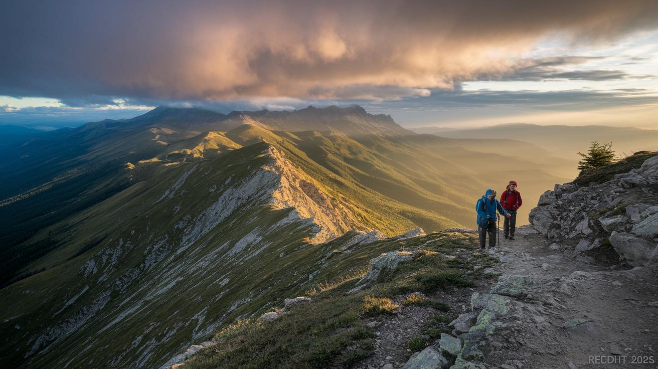
Ever notice how a sunny sky can suddenly turn into a storm in the mountains? The weather up here can change fast, catching you off guard on icy, steep paths. Paying attention to details like drops in temperature, how the wind feels on your face, and whether it's rain or snow can really help you stay safe. In this guide, we break down how to read a mountain weather briefing so you can be ready for anything nature throws your way.
Core Components of a Mountain Weather Briefing for Extreme Conditions

Before you head out into high mountains, a clear weather briefing is a must. Mountain weather can change in moments, turning a sunny start into a fast-arriving storm. Knowing the specifics helps you make smart choices every step of the way.
Here are the key details you should always check:
- Summit temperature profile (remember, temperature usually drops about 10℃ per 1,000 meters, or roughly 5.5°F per 1,000 meters)
- Wind speed and direction (this matters because wind chill can make it feel much colder)
- Precipitation type and intensity (knowing if it’s rain or snow can warn you about slippery rocks or avalanche risks)
- Avalanche risk rating (fresh snow and quick drops in temperature can make avalanches more likely)
- Cloud cover and visibility (helps you decide if you need extra care with navigation)
- Thunderstorm likelihood (mountains can force air upward quickly, sparking heavy storms)
- Sudden temperature shift warnings (alerts you to fast changes that could bring unexpected cold)
Skipping any of these checks can put you in danger. For instance, if you miss a sudden dip in temperature, you might face harsh wind chill that could lead to hypothermia on steep, exposed slopes. Not knowing the avalanche risk could set you on unstable, snow-heavy ground that turns dangerous in minutes.
Think of a good weather briefing as your safety net, it gives you the full picture so you can change your plans if the weather turns sour. Stay smart, stay safe, and enjoy your mountain adventure.
Advanced Forecasting Techniques for Extreme Alpine Forecasting
Forecasting weather high in the mountains is no easy job. The rocky trails and steep climbs mean local weather can change in a heartbeat. Steep slopes, quick swings in temperature, and temperature inversion (when warm air sits above cool air) all add to the challenge. Even forecasts for the next hour might miss the small details that matter.
Numerical Weather Prediction Models
Big-picture models show the overall weather, but regional models break it down into finer details around mountain tops and valleys. For example, a global model might tell you a cold front is arriving, while a regional model can pinpoint a sudden drop in temperature along a specific ridge. Using both together gives you a clearer alert when those tricky temperature inversions occur.
Orographic and Microclimate Analysis
Mountain shape plays a big role in the weather. When air rises over peaks (a process called orographic lift), it cools and turns into rain or snow along the exposed ridges. By looking at elevation, which way a slope faces, and the shape of the land, we can see local pockets of weather. This explains
Integrating Avalanche Risk Briefing with Mountain Weather Briefing for Extreme Conditions
When planning a high-altitude climb, you must check both the snowfall forecast and avalanche risks. Heavy snow and quick temperature changes can make a good day turn dangerous fast. A good weather check covers temperature, wind, and current avalanche conditions. With avalanche safety training as the backcountry gold standard, your briefing should explain these risks so you can decide safely on steep terrain.
Here’s what to do:
• Check the latest snowfall amounts and wind-drift patterns.
• Read current avalanche bulletins and terrain alerts.
• Choose slopes with less than a 30° angle and avoid wind-loaded cornices (icy shelves of snow).
• Always bring and practice using your beacon, probe, and shovel (avalanche safety gear).
Skipping even one of these checks can put your safety at risk. Keep a close eye on both weather updates and avalanche conditions during your climb. Even a short pause can reveal new snow loads or shifting conditions that weren’t there at the start. Stay alert and be ready to adjust your plans; mixing avalanche and weather info well is your best defense against unexpected mountain hazards.
Monitoring Tools and Off-Grid Systems for Mountain Weather Briefing
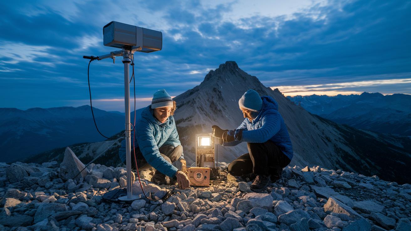
When you head out on remote climbs, off-grid weather tools are a must. They work without cell service, so you're always in the know when the mountain weather shifts suddenly.
These handy devices give you real-time updates. Handheld anemometers check the wind speed, while portable barometers keep track of pressure changes. Satellite messengers and off-grid weather stations work in even the most isolated spots. This means you can build a live weather briefing that tells you if a storm is brewing or if strong gusts are on the way.
Local base camps and friendly observations from other hikers add extra insight. These human reports help confirm the readings from your tools. By combining trusted hardware with local reports, you can quickly understand mountain conditions and decide the best, safest path forward.
Case Study: Rapid Storm Escalation in a Mountain Weather Briefing Scenario

Early in the morning, a group sets out to reach the summit on a crisp day. The sky is clear at first, with high clouds and light winds. But soon, dark clouds form quickly. These fast-moving storm cells warn the group that a severe storm might hit at any moment. A quick weather check becomes essential since even a brief flash of lightning or a sudden gust of wind can force a fast change of plans.
Storm Cell Formation Detection
Using radar and satellite alerts, the team watches the clouds change. They see round storm cells moving toward the ridge. For example, a sudden burst on the radar suggests that a storm strong enough to cause blizzard-like conditions is building. This early technical notice lets them know a storm could cover the summit area before it fully arrives.
Real-Time Observation Techniques
The hikers also pay attention to real-time clues. They notice a quick drop in barometric pressure. They also see lenticular clouds (clouds that form in a lens shape) that tell them wind chill risks are rising. With these signals, any sign of strong winds makes the group call off the summit attempt immediately and choose a safer spot to wait out the storm.
Emergency Alpine Protocols and Expedition Weather Planning
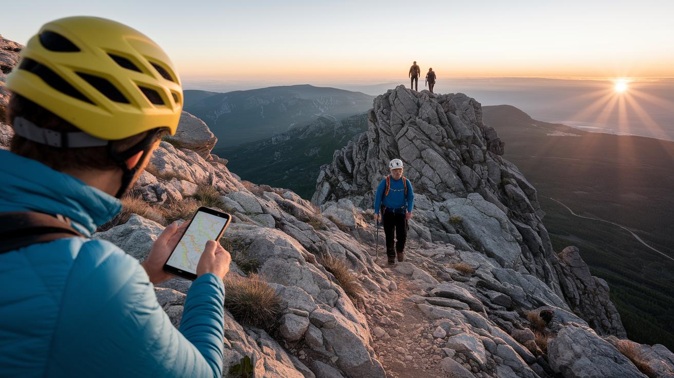
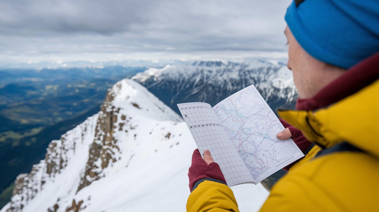
Before you head out for your climb, check the weather thoroughly. Use a few trusted sources and review the summit-window report to pick the safest time. This simple step helps you avoid dangerous weather.
When the conditions get risky, know when to turn back. If wind gusts hit over 30 mph or lightning is seen closer than 10 miles, it's best to retreat. Set up a satellite link or reliable contact method before you leave so you can get updates or call for help. Bring extra fuel, an insulated shelter, and a first-aid kit designed for very cold weather. These measures offer you a safe spot if you need to pause until the weather improves. For more useful tips, check out our hiking safety guide.
After an emergency or a close call, take a moment to review what happened. Write down the weather signs that made you stop, which tools worked best, and how your communication plan held up. This honest review helps you plan better for future climbs and boosts your safety knowledge on the mountain.
Final Words
In the action, we learned the key parts of a solid weather briefing. We broke down essential elements like temperature shifts, wind details, and avalanche risk. We also explored advanced forecasting and real-time tools that help you stay safe on high trails.
Each component plays a role, from detailed mountain forecasts to emergency plans. Keeping informed on mountain weather briefing for extreme conditions gives you a clearer shot at a smooth ride ahead. Stay safe and enjoy the climb.
FAQ
What is a 5 day mountain weather forecast?
A 5 day mountain weather forecast provides expected conditions over five days, including shifts in temperature, wind and precipitation. It helps plan safe trips in high-altitude areas.
What is the higher summits forecast for NH and the White Mountains?
The higher summits forecast for NH and the White Mountains offers detailed weather insights for high elevations, covering temperature changes, wind speeds and precipitation to guide safe mountaineering decisions.
What is a Mountain Forecast app?
The Mountain Forecast app delivers real-time weather updates and detailed mountain condition reports, including alerts for temperature, wind and precipitation, all on your mobile device.
What is Mountain Forecast Lafayette?
Mountain Forecast Lafayette provides localized weather data for Lafayette and nearby regions, outlining current conditions and trends that help climbers and hikers plan their trips safely.
What is the weather in the mountains this weekend?
The weather in the mountains this weekend forecast describes brief upcoming conditions such as temperature shifts, wind changes, and potential precipitation, so outdoor enthusiasts can prepare accordingly.
generic pepcid name
generic pepcid name
semaglutide dosing pills
semaglutide dosing pills
fincar en ingles
fincar en ingles
semaglutide vergoeding
semaglutide vergoeding
metronidazole for dogs for sale
metronidazole for dogs for sale
oral acyclovir valacyclovir or famciclovir
oral acyclovir valacyclovir or famciclovir
minoxidil for women
minoxidil for women
sildenafil supply and demand pricing
sildenafil supply and demand pricing