

Ever wondered if a national weather forecast really tells you all you need for a safe mountain trip? Standard reports can miss the quick local changes that make a big difference on the trail. Local weather updates give you extra insight so you can plan smarter and stay safe. In this guide, we show you a simple three-step method. First, mix the big-picture forecast with local sensor data and community updates. That way, you can catch sudden shifts and be ready for whatever the mountains throw your way.
Comprehensive Integration of Local Forecasts into Mountain Weather Briefings

Start your trip planning with a simple three-step approach. First, check the national forecast for the next 48 hours to get a sense of the overall weather. Next, focus on mountain-specific data that shows current conditions and hints at changes along your route – for instance, you might see a note like "Expect cooler temperatures near the summit." Finally, add local updates from nearby sensors and community reports to catch fast shifts, such as wind increasing from 3 m/s to 6 m/s or a temperature difference of up to 10 °F between the trail base and the peak.
Standard weather briefings give you a clear 3-day outlook, covering current conditions, expected changes, and any warnings. For day hikes, you might get a quick update noting, "Wind gusts now reaching 6 m/s; pause your ascent until it steadies." This step-by-step method turns broad data into handy, local insights.
For longer trips, look at outlook briefings that cover 5 to 7 days. These help you spot trends, adjust your start time, and pack the right gear for changing conditions. Blending detailed local data with overall forecasts gives you a realistic picture of what to expect out in the mountains.
Using this layered approach keeps everyone better prepared for sudden weather changes and makes your journey safer.
Local Sensor and Community Data Sources for Mountain Briefings
Local data is key for understanding what to expect on the trail. Real-time updates come from over 40,000 weather stations and national maps show live satellite images. These tools let you know if the weather shifts suddenly so you can stay safe.
Community input boosts the weather briefing. Volunteers run small weather spots (called microclimate stations) that capture rain and temperature changes right where you are. Sensor arrays set up at different heights record changes quickly too. This local insight helps you tweak your plans if the weather turns, keeping you connected to the mountain’s true pulse.
- National weather advisory platforms
- Regional mountain weather centers
- Community-run microclimate stations
- Automated sensor arrays at different elevations
- Mobile network alert services
Forecast Integration Techniques for Mountain Weather Briefings

Begin by checking different parts of your forecast. Look at both hourly updates and three-hour segments. For example, you may notice a light breeze turning into a strong wind in just a few hours. Comparing these time frames helps you catch early changes that could affect your climb.
Next, mix data from several forecast models. Compare numbers from different sources and spot any differences. Often, systems that blend satellite images with ground sensor readings give you a clearer look at current conditions. Sometimes, merging regional forecasts with local observations shows a rising wind and a drop in temperature all at once.
Then, add in real-time sensor data from the alpine. Use live updates from mobile networks and fixed sensors to fine-tune your weather briefing as conditions change. This step is key for keeping up with sudden temperature shifts or gusts.
These methods help cut down forecast errors by spotting small changes early and combining info from many sources into one clear, reliable mountain update.
Case Study: Applying Local Forecasts in a Summit Push Briefing

During a summit push, local weather updates are a must. In the early morning light, you set out with a briefing that tells you to check your barometer (a tool that shows air pressure) every 90 minutes to spot falling pressure. As you climb higher, quick updates warn you about sudden fog or brief heavy rain. Hourly reports become very helpful when winds jump from a steady 3 m/s to gusts of 6 m/s with the changing terrain.
On another day, forecast data helped climbers start early to avoid afternoon storms. They compared reports from local sensors and nearby hikers to adjust their route and pace based on real-time conditions. This mix of detailed, short, and outlook updates helped the teams plan both their climb and their rest stops.
Key points during the climb are to:
- Pause the ascent if wind gusts increase sharply.
- Check the barometer every 90 minutes.
- Watch for sudden drops in visibility or quick bursts of rain that could mean worsening weather.
Best Practices and Challenges in Local Forecast Incorporation
When planning your mountain trip, it helps to check weather from several sources. Compare forecasts to catch any quick changes. Keeping a simple weather diary lets you see which sources are hitting the mark over several days. When you notice sudden shifts in wind or temperature, it’s a good idea to double-check the details.
Mixing data from different models can cut down on surprises, like storms arriving earlier or later than expected. Matching your local sensors with trusted references also makes your readings more reliable. By reviewing your weather data regularly, you can catch any drift or error before it becomes a problem. These practices help you get a clear view of changing weather, making your trip planning safer and more flexible. Trusting these steps means you can spot emerging risks early and safely adjust your plans as the day unfolds.
| Practice | Benefit |
|---|---|
| Cross-source comparison | Better trend detection |
| Weather journaling | Historical accuracy tracking |
| Sensor calibration | Data consistency |
| Ensemble modeling | Enhanced timing forecasts |
| Scheduled data audits | Ongoing quality control |
Mountain Weather Briefing Tools for Local Forecast Incorporation
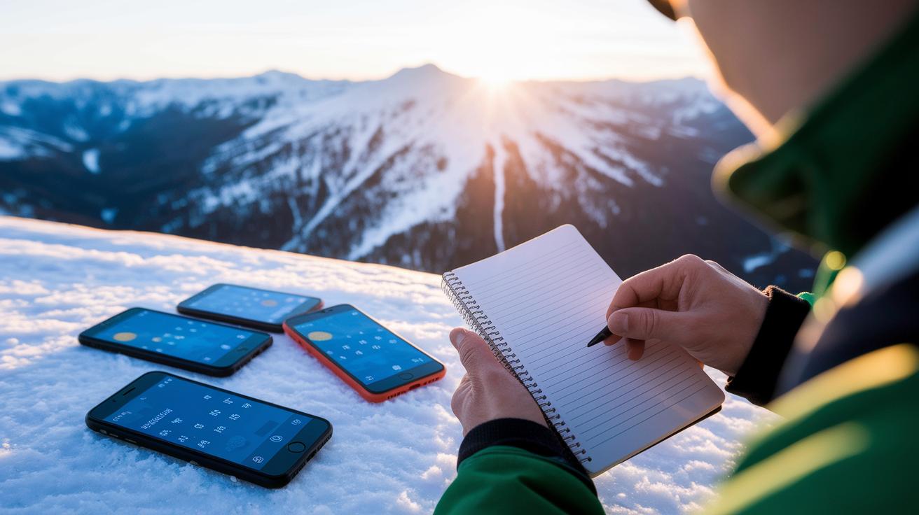
Our desktop tools now show live stats that tell you how often weather data is refreshed, often every five minutes during busy times. For example, some users quickly noticed changes in temperature and small local shifts, which helped them plan their routes with confidence.
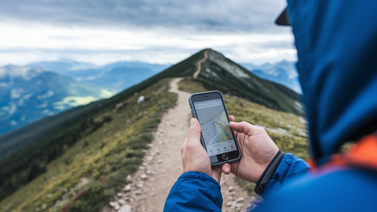
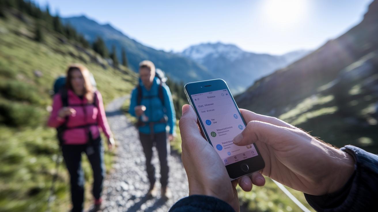
Smartphone apps have also improved with clearer screens and faster real-time alerts. One hiking group even got quick GPS SOS notifications when a sudden weather change hit, making it easier for them to check barometer readings (a tool for measuring air pressure) and stay safe.
Digital platforms now blend in local sensor data with clear update times and accuracy details. A local guide, for instance, used this info during unexpected dips in the weather to change plans on the fly. These real-life examples show that smart digital tools give hikers fresh, practical insights to tackle mountain weather safely.
Updating and Communicating Real-Time Local Forecasts in Mountain Briefings

Mix live weather info from local sensors and hut logs into your daily mountain briefings. This way, you get all important details in one spot and skip repeating things like regular barometer checks or phone alerts already covered in your usual forecast updates. For instance, compare sensor readings with the hut keeper's recent notes to adjust your plan when you see unexpected cloud buildup.
When the weather changes fast, act quickly. Set up automatic GPS alerts and a backup plan using a handheld radio when phone data is weak. This clear approach shows everyone how to reach shelter or start safety steps when conditions suddenly shift.
Final Words
In the action, we saw how mountain weather briefings benefit from layering 48-hour national outlooks, local sensor data, and real-time forecast techniques. We explored sensor tools, case studies, and best practices that reduce forecast errors and boost safety.
Incorporating local forecasts into mountain weather briefings gives you a clear roadmap for handling sudden changes. With careful planning and local insights, your next hut trip will be both safe and incredibly memorable.
FAQ
How are local forecasts integrated into mountain weather briefings?
The process starts with a 48-hour national outlook, then focuses on mountain-specific data, and finally layers in high-resolution local forecasts from sensors. This systematic approach helps climbers plan safely.
What types of local data sources support mountain weather briefings?
Local forecasts come from national advisory platforms, regional mountain centers, community-run microclimate stations, automated sensor arrays at different elevations, and mobile alert services, ensuring detailed mountain readings.
How do forecast integration techniques reduce errors in mountain weather briefings?
Techniques such as comparing hourly with three-hour forecasts, blending satellite imagery with ground sensor feeds, and using neural forecast blending combine multiple data streams to minimize forecast errors in mountain settings.
How are local forecasts used during a summit push briefing?
During a summit push, local forecasts provide hourly updates, barometer check recommendations, and visibility alerts. This information helps climbers decide on start times and adjust plans when winds and temperatures change quickly.
What best practices help improve local forecast incorporation in mountain briefings?
Best practices include using cross-source comparisons, keeping a weather journal, calibrating sensors against reliable data, applying ensemble modeling for storm timing, and scheduling regular data audits to maintain accuracy.
What tools assist in creating mountain weather briefings with local forecasts?
Tools include desktop platforms for long-range planning, smartphone apps for on-trail alerts, integrated systems with barometer readings and GPS SOS beacons, and interactive platforms that overlay local sensor data on regional forecasts.
How are real-time local forecasts updated and communicated during climbs?
Real-time updates come from routine barometer checks and mobile push notifications. These updates alert teams to rapid weather shifts, triggering emergency actions such as moving to shelters or activating GPS SOS beacons.
cialis online sale
cialis online sale
vfend and alcohol
vfend and alcohol
semaglutida comprimido ou injetável qual o melhor
semaglutida comprimido ou injetável qual o melhor
acyclovir maximum daily dose
acyclovir maximum daily dose
does bupropion help with smoking
does bupropion help with smoking
toradol therapeutic uses
toradol therapeutic uses
terbinafine side effects information
terbinafine side effects information
terbinafine nail fungus overview
terbinafine nail fungus overview
toradol short term clinical use
toradol short term clinical use
ivermectin usage FAQ
ivermectin usage FAQ
minoxidil thickness improvement data
minoxidil thickness improvement data
minoxidil foam vs liquid tolerability data
minoxidil foam vs liquid tolerability data
minoxidil mechanism pharmacokinetics link
minoxidil mechanism pharmacokinetics link
minoxidil men’s vertex regrowth
minoxidil men’s vertex regrowth