

Ever wonder if storms hide behind the mountains? Many say radar has trouble up high, but new tech tells a different story. Mountains can block signals and add extra noise to weather updates. Modern radar now cuts out ground clutter and clears up high-elevation shadows, giving us a sharper view. We explain how forecasters use these improvements to offer you safety-first insights for choosing the best route. Get ready to see how clear, reliable weather updates come through, even among the peaks.
Radar Basics for Mountain Weather Briefings

Mountain peaks can block radar signals and create gaps in the weather forecast. In the Rocky Mountain West, high peaks block the radar’s view, which means rain or storm echoes may be missed. For example, the closest National Weather Service radar is in Grand Junction, 85 miles from Crested Butte and about 130 miles from Gunnison. These distances show how mountain terrain can blur radar images.
Even with these limits, radar is a key tool for mountain weather updates. Advanced systems help spot storm systems and follow rain trends. They filter out echoes from steep slopes (ground clutter) and adjust for high-altitude terrain. Teams use storm tracking and high-peak update methods to keep the data fresh and reliable.
When planning a climb, using radar can really help you decide on your route. It gives useful insights into the coming weather. Forecasters adjust for signals blocked by mountains so that you get accurate, safety-first information.
Clear radar integration lets teams pick safer routes and fine-tune their timing, lowering risks when you’re out on the trail.
Adapting Radar for Mountain Weather Briefings in Alpine Terrain
When you're planning a mountain trip, clear weather info is key. Adjusting the radar beam between 0° and 3° cuts down on echoes from steep slopes. This tweak makes the signals clearer and cuts out the extra noise from rocks and trees.
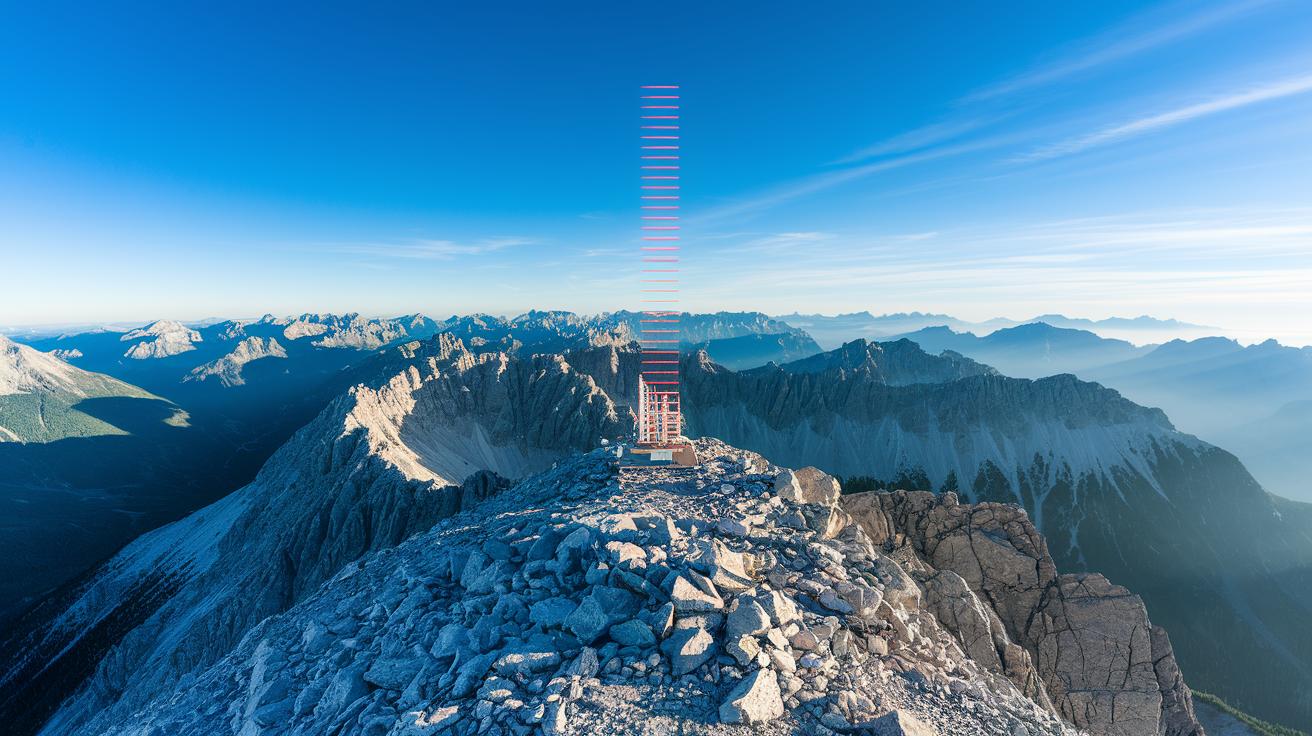
High-elevation radar sites, usually above 2,000 m, help lessen the shadows that nearby peaks can cause. With a high-up sensor, forecasters can see cloud build-up and storm moves much better. It helps overcome the block from lower hills and valleys.
Vertical scanning sweeps are also needed. They capture the top of clouds and spot tall cumulonimbus clouds (big, puffy clouds that can bring lightning, rain, and hail). Knowing how high the clouds reach gives climbers a heads up about changing weather before it hits the slopes.
Another useful method is using dual-Doppler networks. This approach sharpens wind readings in tricky, narrow valleys. By checking signals from two places, forecasters can better tell wind speeds and changes, even in complex terrain.
| Technique | Purpose | Altitude Range |
|---|---|---|
| Beam Tilt Adjustment | Cut down ground clutter | 1,000–3,000 m |
| Vertical Scanning Sweeps | Show high-altitude clouds | 2,000–5,000 m |
| Dual-Doppler Coordination | Improve wind readings | 2,500–4,500 m |
Using these techniques makes mountain radar work better and helps forecast teams track storm patterns in alpine areas.
Tracking Storms and Precipitation in Mountain Weather Briefings

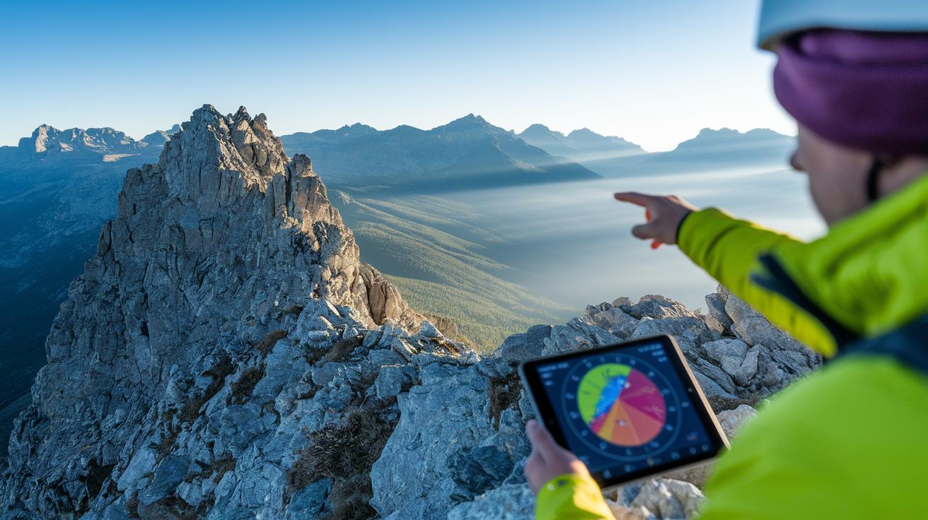
Radar readings are a key tool for tracking storm movement and predicting rain or snow in the mountains. Instead of using forecasts from nearby towns, we use data tied to exact coordinates so you get a more accurate look at the weather. For example, you might see a note like "Radar shows a 40% chance of rain, pack your rain gear!" This kind of detail helps you avoid surprises on narrow ridges or in deep valleys.
Hourly forecast tools, like the Hourly Weather Graph, let you spot when wind speeds peak and when thunderstorms might start. We recommend planning any climb at least one hour before a storm begins. These tools clearly show wind gusts and temperature changes so you can decide if it's better to pause or move on.
Radar systems also help us tell the difference between chilly winds from the north and milder breezes from the southwest. This information is a big help when choosing the best route. Advanced forecast tech and remote sensing work together to map cloud patterns high up. If heavy snow is forecast, it not only means more precipitation but also a higher avalanche risk.
Real-time radar updates make it possible to catch even small changes in the weather. You can see details like storm strength and the edges of precipitation zones. Mapping of elevated clouds also shows when conditions might change, such as the build-up of clouds that could lead to lightning or hail during your climb.
All these methods work together to give you clear, helpful weather updates during your mountain trip.
Using Radar in Mountain Weather Briefings: Clear Insights

Pressure systems shape the weather you’ll face in the mountains. If the radar shows an "L" for low pressure, it means unstable weather may be on its way. A high pressure marked with an "H" usually means more stable conditions. Keep an eye on these symbols when planning your route.
Wind barbs are important too. Each full barb represents 10 knots. When gusts exceed 20 mph (32 km/h), the wind chill can be a real concern. Use this info to decide if you need extra layers or if it’s best to delay your ascent.
In the mountains, temperature drops by about 10 °C for every 1,000 m you climb. So, if it’s 12 °C in the valley, you might feel around 2 °C at the top. A simple rule to follow is: "Dress light at the base but pack warm layers for higher altitudes."
Cloud types can also offer clues on a radar screen. Cumulus clouds might grow into cumulonimbus clouds, which can bring thunderstorms with lightning, hail, and heavy rain. On the other hand, cirrus and stratus clouds usually mean safer weather.
Watch for hazard codes too. Avalanche levels (rated 1–5) and watch-warning-advisory symbols add extra details to help you judge the risks. When you combine these codes with the radar data, you can make clear, safety-first decisions about your climb.
All these factors, pressure systems, wind barbs, temperature drops, cloud types, and hazard codes, come together on your radar screen. This clear picture lets you plan your route a bit more easily and safely.
Best Practices and Limitations of Radar in Mountain Weather Briefings
Radar is a handy tool, but it isn’t flawless. In the mountains, it can miss rain at lower levels and hidden storms, especially from the west. That’s why it's smart to also look at the sky yourself.
Local guide services or gear shops often know the ins and outs of mountain weather. They understand how weather behaves near steep valleys and tall peaks. Take their advice and check simple forecasts and hourly updates to choose the best time for your climb. One fellow climber said, "I always check the sky as soon as the radar shows a gap."
Keep a simple log by writing down what the radar says and what you really see in the clouds. Besides being a good habit, it helps you notice local quirks over time and plan your next adventure better.
Also, remember that radar might not pick up weather details in deep valleys. This can change avalanche forecasts. Regularly checking with locals and adjusting your gear tools makes a big difference. Combining these methods with remote data tools boosts the reliability of your forecast.
Stick to these steps every time you head out to balance tech help with natural clues. Learn from each hike, fine-tune your process, and most of all, enjoy safe climbs.
Final Words
In the action, we see how clear radar insights and practical tweaks make high-peak planning safe and straightforward. You learn how terrain affects signals and what beam adjustments can reveal.
The post shows that using radar in mountain weather briefings keeps you alert to storm patterns and precipitation trends. Small details like wind readings and cloud types empower you to plan confidently. Enjoy your alpine trips with a steady focus on safety and local know-how.