


Ever thought your hike could be planned for you by smart tech? AI-powered trail planners use up-to-date info, like weather alerts, your past hikes, and live trail activity, to choose routes that suit your pace and keep you safe. They even help protect nature by picking paths that are gentle on the environment and support trail upkeep. If you're looking for an easier, safer way to plan your next adventure, these algorithms might be just what you need.
ai trail planning algorithms: Elevate Trail Efficiency
AI trail planning algorithms are computer tools that help plan and improve hiking routes. They work with digital maps and location data to offer trail suggestions that fit your past experiences, where you are, your schedule, and your fitness. Imagine a system that notices you prefer gentler climbs and shows you a path with smooth slopes and pretty overlooks.
These tools are built to keep you safe and make your journey efficient. They use real-time weather data so that if a storm or a heatwave hits, you get an alert right away. This means you can steer clear of dangers while keeping on track.
AI trail planning also works hard for nature. It tracks how many hikers use a trail so park staff know when a route might need a break to heal. Think of it like your smartwatch counting your steps, helping you pace yourself.
Key benefits include:
- Live weather updates for better safety
- Better route planning to save time and energy
- Trail suggestions that match your hiking style
- Tips to help protect the trails for everyone
These systems not only make your hike smoother but also care for the land by suggesting paths that respect the terrain. In short, AI trail planning helps make your adventure safe, smart, and kind to nature.
Core Pathfinding Algorithms in AI Trail Planning
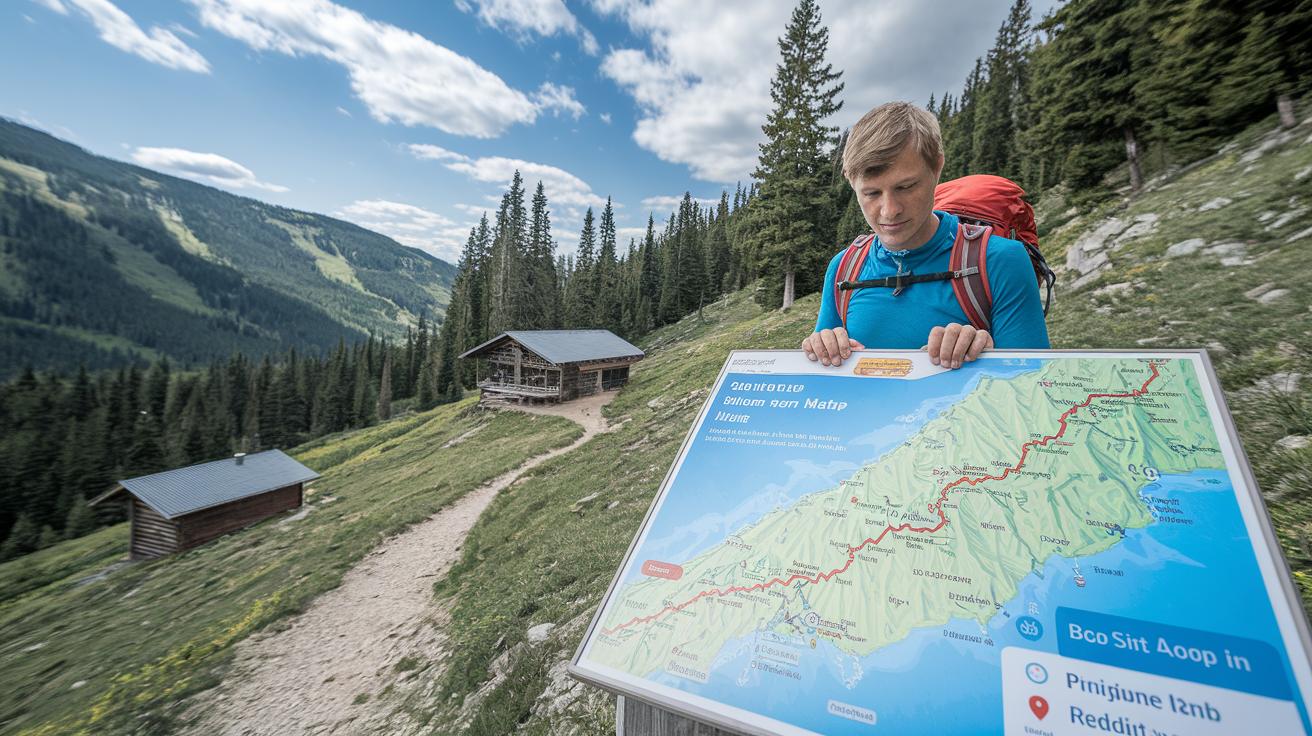
Cycle Detection uses a simple depth-first search to spot loops in a trail network. It checks if a path circles back to where you started without repeating any other stops. Think of it like making sure you don’t walk around in circles on your hike.
Dijkstra’s Algorithm starts by setting your starting point to zero. It then checks nearby huts, adding the distances as it goes. This way, if you’re moving between huts, the algorithm finds the most direct path so you avoid any extra detours.
The A* Algorithm builds on this method by adding a quick guess of how far you are from your destination. When you see a scenic overlook ahead, A* helps predict the remaining distance so you can adjust your pace and effort.
The Maximum Flow Algorithm works a bit differently. It gives each trail section a capacity to show how many hikers can safely pass through. This helps find routes that handle groups well and avoid overcrowded spots.
The Minimum Spanning Tree Algorithm links every hut with the shortest overall distance. It picks the lightest connecting paths and avoids creating loops, much like planning your hut tour to cover all stops without running in circles.
Together, these route planning techniques help overcome tricky terrain. They make sure your hut-to-hut journey is efficient, safe, and well matched to the trail network.
Terrain Evaluation and Geospatial Analysis in AI Trail Planning
AI trail planning uses high-resolution satellite photos and digital elevation models (computerized maps) to pull in detailed land data. These tools show key details like height, slope, and ground cover. When you notice a change in the ground or a patch of forest, it’s thanks to terrain models that mimic real-life bumps and dips.
Map feature extraction is a key tool on these trails. It finds water sources, vegetation, and any obstacles. For example, a narrow stream or a clump of overgrown trees gets flagged here. Then, topographic analysis tools review this data so you know what to expect on the trail.
Geographic network analysis pulls data from several digital maps to give you a clear picture of the area. It shows how trails link together and highlights tight spots. When trails run close in steep sections, these tools help point out areas where you should take extra care.
Environmental journey modeling wraps it all together by adding in weather forecasts and seasonal shifts. It tells you if a snowy patch might have melted to mud or if a sunny ridge could later turn very hot. This helps you plan ahead for changes that might affect your hike.
All these methods work together to turn raw data into useful, clear trail insights. They simulate real-world conditions so that routes match current and expected weather and terrain. This smart approach helps plan safe and enjoyable hut-to-hut trips.
Machine Learning Navigation and Real-Time Updates in AI Trail Planning

We use smart tech that learns from past hikes to help guide you along the mountain trails. Our system listens to what previous hikers have experienced and uses that feedback to improve the route over time. Each journey helps it learn which paths work best on sunny days and overcast ones.
It also taps into sensors like GPS and weather stations to keep you updated. When a sudden storm hits or an obstacle appears, the system quickly adjusts your route. For example, if heavy rain makes the trail slippery, you'll get a prompt suggestion for a safer path.
We also add a layer of prediction by checking past patterns. This helps the system estimate how tough a section might be, so you know what to expect and can match the hike to your energy level.
For multi-day trips, the navigation adjusts even more. If your group has mixed abilities, the system can tweak the itinerary to keep everyone safe and comfortable.
In short, blending machine learning with real-time updates creates a smart, flexible route tailored for hut-to-hut adventures. It changes with the weather, the trail, and your needs so that your trek is as smooth and safe as possible.
Comparative Analysis of AI vs Traditional Trail Planning Methods
AI trail planning is changing how we map out our mountain hikes. These smart tools use real-time data to trim your route by up to 15%. That extra bit of efficiency can be the difference between a relaxed day on the trail and an exhausting one.
Old-school planning relies on paper maps and a pencil. Sure, experienced hikers can work with those, but they struggle with surprises like sudden weather changes. Manual planning needs many tweaks over time. In contrast, AI quickly adjusts your route by weighing distance, elevation, and safety in just milliseconds.
AI planning also makes your hike feel personal. The route fits your fitness level and personal likes, unlike one-size-fits-all guidebooks. And when the weather turns or a trail gets crowded, AI can suggest a safe detour. It even helps reduce your impact on nature by tracking your footprint and suggesting eco-friendly routes.
| Criteria | AI-Based Planning | Traditional Methods |
|---|---|---|
| Efficiency | Routes can be up to 15% shorter thanks to smart data | Manual methods often end up 5–10% longer |
| Personalization | Tailors the route to your fitness and preferences | Uses a one-size-fits-all guide |
| Adaptability | Real-time updates for weather and obstacles | Static and unchanging routes |
| Conservation | Offers tracking of your impact with eco-friendly suggestions | No automated way to check environmental impact |
Think about how these differences can make your trip safer and more enjoyable.
Implementation Challenges and Future Directions in AI Trail Planning
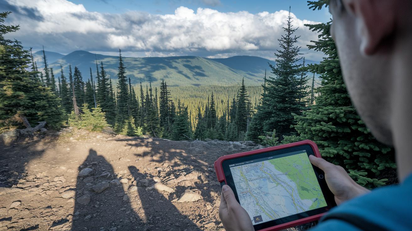
Using AI to plan trails can be tricky. One big challenge is bad data. Old maps or incorrect elevation numbers can confuse the system and change your route unexpectedly.
Building detailed terrain models adds extra hurdles. It needs fast, efficient code and cloud systems to sort through loads of data quickly. This means strong hardware and smart software that work even when you're off the grid.
Mixing data from different sensors like GPS, LiDAR (a technology that uses lasers to measure distances), and weather apps is not simple. Each sensor sends its info differently, which can slow things down or cause mistakes. Making all these signals work together smoothly is a key part of smart trail planning.
The future looks brighter. New ideas like hybrid algorithms may mix several planning tricks into one system. Virtual route tests might let us try out trails on a computer before we hit them in real life. And systems that blend live sensor info with preloaded maps are set to create safer, better trail advice for your next hut-to-hut adventure.
Final Words
In the action, ai trail planning algorithms transform your mountain trips by creating safe and personalized routes. We explored how digital mapping systems, core pathfinding methods, terrain evaluation, and machine learning guide your decisions. Real-time updates and sustainable planning help you stay prepared and confident on every step. With these smart tools, complex logistics become a thing of the past. Enjoy the clear benefits of technology that keeps safety and local mountain hospitality at the forefront, making your next hut trip both reliable and memorable.
FAQ
What does an AI trail planning algorithms PDF offer?
An AI trail planning algorithms PDF offers a detailed explanation of the tech behind personalized trail recommendations, covering mapping data, core algorithms, and real-time updates to improve safety and efficiency on the trail.
Which free AI route planning and trail optimization tools are available?
Free AI route planning and trail optimization tools provide basic mapping, personalized trail suggestions, and real-time updates using machine learning. They allow hikers to test optimized routes without extra cost.
What are some of the best AI trail planning algorithms for outdoor route planning?
The best AI trail planning algorithms use methods like Dijkstra’s and A* to calculate efficient, safe routes. They combine user data, real-time weather, and terrain details to tailor recommendations for each hike.
How does AI route optimization software, including generative AI techniques, improve hiking trail planning?
AI route optimization software improves hiking trail planning by analyzing live sensor data and user feedback to offer precise, adaptable trail options. Generative AI techniques help simulate various scenarios for safer planning.
What is meant by AI route consensus in trail planning?
AI route consensus means using multiple algorithms to review condition data and user input so that they agree on the most efficient, safe route. This approach balances different factors to support clear decision-making.