


Ever thought a computer might plan your hike better than you? AI trail planning does just that. It gathers satellite images, terrain maps, and your own stats to plot a safe route. Imagine a chef tossing fresh, local ingredients together for the perfect meal. It checks every slope and dip, guiding you along the best path for your pace and the trail's conditions. In this guide, we explain how tools like Scout turn complex data into simple, clear plans for your next hut adventure.
How AI Trail Planning Works: Core Mechanisms and Workflow
Scout, the AI chatbot, gathers useful data fast. It pulls satellite images, terrain maps, and your fitness info from trusted outdoor sources. This mix of data helps create a route that suits your pace and the trail conditions.
Scout then works like a smart chef. It blends satellite views, detailed maps, and your personal stats into one solid plan. For example, on a 30-mile hike on North Carolina’s Art Loeb Trail, Scout suggested the right gear, planned rest stops, and even tweaked the route to save hours on planning.
Next, Scout’s system checks the route details. It looks at hill slopes, steep bits, and good spots for breaks. It can quickly simulate different scenarios to suggest an alternate path if the weather changes or if a section feels risky. So if heavy rain is on the way, Scout can recommend a safer detour.
In simple steps, data is gathered and cleaned, then analyzed and tested until a final route is ready. This clear, high-tech process gives you a route that fits your fitness and the trail’s conditions, making your hike both smart and safe.
Core Technologies Driving AI Trail Planning

AI trail planning blends satellite images, user photos, and terrain details to build a smart digital map of the land. We use digital surface modeling to give you a 3D view of the route, showing each peak, valley, and slope. Think of it as putting together a puzzle that reveals every hidden part of the trail.
Geospatial analysis is key here. It takes these visuals and combines them with GPS data to find the safest and quickest paths. Then, predictive pattern analytics step in to guess your pace, energy needs, and any spots that might be tricky, like a rocky patch that could slow you down.
Course design simulation lets you check trail conditions before you head out. Virtual trail scouting shows you how things might change in real life, whether it’s different light or sudden weather. For example, a simulation might warn you that a gentle rain could make a steep section a bit more challenging, so you know to bring an extra layer or plan a longer break.
Tools like Gemini, Perplexity AI, and Scout bring all these methods together. They mix satellite images, photos from fellow hikers, and terrain scans to create routes that can adapt in real time to weather and other changes, helping to keep your hike both smart and safe.
Integrating Geospatial and Environmental Data in AI Trail Planning
AI technology pulls together many data sources to suggest smart trail routes. Mapping tools use GIS (a system for mapping data) to show important details like elevation, slopes, and water spots over your digital course map. Imagine seeing the trail like a detailed clay model where every bump and dip stands out.
Live weather feeds add even more value by updating you on storms, heat, or sudden showers. Data from weather stations and satellites team up to give you clear alerts, helping you adjust your plans on the fly.
Planning tools also work hard to protect nature. They steer hikers away from sensitive wildlife habitats and fragile ecosystems. This means you get trail suggestions that are kind to the land while still offering a great adventure.
Key components include:
- GIS for mapping your route
- Digital surface modeling for a 3D view of the trail
- Live weather updates that keep you informed
- Nature-friendly modules for sustainable, low-impact trails
By blending smart mapping with real-time environmental data, AI helps create safe trails that respect both the hiker and the mountain life.
Algorithmic Models for Optimizing Trail Routes
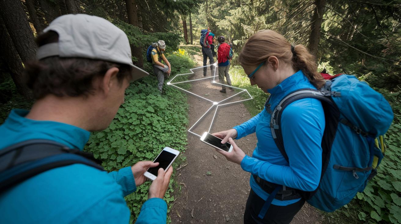
Our AI trail planning uses simple map-finding methods like A* and Dijkstra’s (ways to find the shortest path) to pick the fastest route between huts. Think of it like a connect-the-dots game where every dot is a choice and each line is a potential path that saves time and effort.
The system also checks your pace and energy use by comparing with data from past hikes. Picture your smartwatch saying, "You might reach the next hut in 45 minutes." This helps match the route to your fitness level and the trail’s challenge.
We also run virtual "what if" tests on the trail. These tests look at different possible problems, like a sudden downpour on a steep part. They help pick a safe way around hazards such as loose rocks or slippery ground.
Together, these steps work like a smart trail buddy. They run many quick tests to choose a path that is fast, safe, and matches your energy.
Machine Learning Workflow in AI Trail Planning
Machine learning is at the heart of planning trails with AI. We begin by gathering data from old trail logs, fitness records, and weather reports. Data from weather stations and terrain sensors fills our dataset with trail details over time. For example, we collect large volumes of sensor feeds that show slope angles and temperature changes.
Next, we clean up the data. This step removes errors and missing readings so the information is trustworthy. Think of it like adjusting the focus on a camera before snapping a clear picture.
Then we use the cleaned data to train our machine learning model. We work with supervised learning (using past labeled examples) and reinforcement learning (where the system learns from its own outcomes). This process is a bit like fine-tuning a recipe as you go, with each bit of feedback helping to improve future suggestions.
After training, we test the model with a separate set of data and then integrate it into our trail-planning tool. Continuous data updates keep the system accurate and ready to guide your next adventure.
Customizing Trails with User Preferences and Feedback

AI now plans trails just for you. It looks at your fitness, past hikes, and even the mix of skills in your group to build a route that fits your style. The system uses this info to craft a trail mapped in 3D (a digital view of the hills and valleys).
The process is flexible. When you give feedback or when conditions change, the AI updates your route with the latest weather and trail data. If you like a gentle climb with plenty of lookout spots, it will point you toward trails that match that preference.
Tools like Scout also help out by suggesting gear lists, meal ideas, and timing tips. For example, if the forecast shows chilly patches on the trail, it might recommend packing an extra layer or taking a longer break to warm up. This keeps your hike both safe and enjoyable.
| Feature | Description |
|---|---|
| Digital Mapping | Shows your trail in 3D so you can see the terrain clearly |
| User Input | Tweaks the route based on your fitness and hike history |
| Custom Features | Selects paths that match your need for rest and great views |
Your trail comes together from your own inputs and live data, making sure your hike stays comfortable and safe.
Real-World Case Studies of AI Trail Planning
Scout’s Yosemite hike used live weather info to plan the route. On a clear morning, data from nearby weather stations was pulled in. Readings from hikers’ devices showed a quick shift in both humidity and temperature. The system mixed map checks with simple pattern analysis to suggest a detour around an area with patchy fog. This smart turn helped hikers skip slippery ground and stay safe without losing any time.
In the Smokies, overnight plans were improved using the same idea. Live data from satellite and local sensors showed that nighttime temperatures might drop and dew could form on the trails. This let Scout suggest packing extra insulation and even tweak the schedule to reach the next hut on time. One hiker said, "I felt ready when the forecast warned of a cold snap as we began our camp setup."
A test on North Carolina’s Art Loeb Trail, a challenging 30-mile route, also proved the value of this tech. AI looked at sensor data from hikers and past trail logs. It then worked out calorie needs and hydration breaks, giving clear gear advice. These smart tips made the route safer and more efficient by balancing busy parts with well-placed rest stops.
Overall, these examples show how mixing different data sources with clear analysis can give hikers timely updates that keep them informed and safe for the unexpected.
Advantages of AI Trail Planning Over Traditional Methods
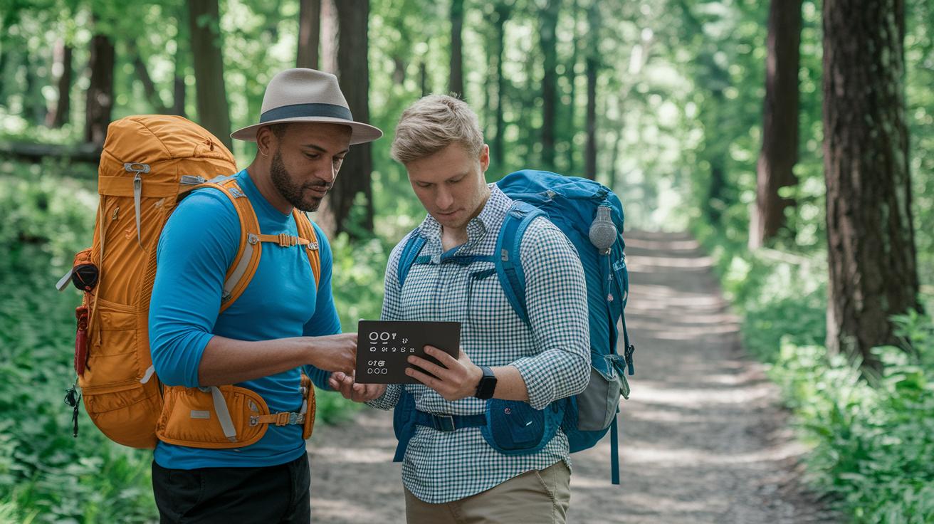
AI planning cuts out hours of map squinting and list-making. It creates gear lists for you and picks the best route based on your needs. Instead of flipping through paper maps, the AI gives you real-time weather tips so you can adjust your schedule and gear quickly.
It also makes planning group hikes a breeze. The system figures out different hiking styles and makes sure everyone stays safe and ready. It checks for tricky spots like steep climbs and water crossings. That means you get a plan that saves time and boosts safety.
Plus, the platform keeps track of foot traffic on trails. This smart data helps protect the environment by guiding sustainable use of the paths. With AI, you move from an old guidebook to a fresh, tailored adventure that respects nature.
Challenges and Future Directions for AI Trail Planning
AI trail planning depends on a wealth of data but runs into some real issues on the trail. One big challenge is dealing with high-resolution terrain maps. These maps show a lot of detail, which is great for planning, but they require heavy computer work. This extra load can slow down processing and make it hard to update your route quickly if the weather or trail conditions change.
Another issue is trusting crowd-sourced photos. Pictures from different hikers can vary in quality. When these photos help decide trail risks, any mistakes can lead to wrong trail details. Similarly, weather forecasts made by AI sometimes fall short. They might miss sudden weather changes if there isn’t enough past data, which is critical for hikers to know in time.
Looking to the future, AI is set to expand into city trail maps and smoother logistics. Urban routes come with their own hurdles like busy sidewalks and changing environments. New, smarter methods will be needed here. Also, AI tools will need to include real-time environmental data to help protect fragile nature spots.
We expect more improvements in machine learning and data processing to help cut down on computer strain. This progress should also bring more accuracy in environmental data and risk checks, making your trips safer and more enjoyable.
Final Words
In the action, we saw AI plan trails by pulling data from satellites, weather stations, and user histories. The article laid out clear steps in route planning, from data ingestion to personalized trail tips.
The explanation showed how the process works practically and safely.
Today, you know how does ai trail planning work and why it beats traditional methods for a smoother hut-to-hut hike. Enjoy the mountains and make every step count.